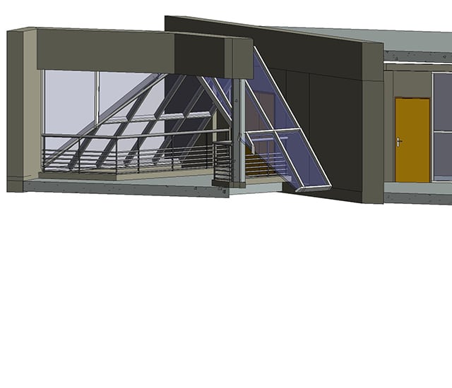
As respected land-use planning professionals, with in-depth expertise of the comprehensive range of legal and technical issues, our chartered land surveyors play a key role in creating as-built BIM models.
- Heritage sites and archeology:
- Mapping results/current situation,
- Structural plans,
- Framework plans,
- Interior plans, cross-sections and facades,
- Morphology…
- Civil and structural engineering:
- Dam,
- Tunnel,
- Viaduct and bridge.
- Various buildings:
- Offices,
- Shops,
- Community infrastructures…
Resources implemented
Sintégra owns all the equipment needed to deliver aerial and terrestrial 3D surveys:
- Equipment (lidars, cameras, tacheometers…)
- Aircrafts (drone/helicopter/airplane.)
- 3D modeling and data processing softwares (3DS/MAYA/RHINO/REVIT…)
Our teams include graphic artists specialized in 3D modeling. The BIM digital model is made using specialized software such as Autodesk Revit.
In addition to the standard IFC format, which guarantees interoperability between the different softwares, other CAD formats can be delivered:
- Solidworks
- PDMS
- SmartPlant
- Autocad
- Microstation…

