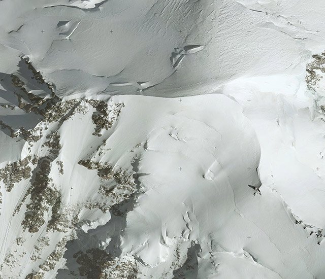
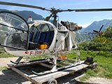
Aerial photography for aerial photogrammetry surveys and mapping
Sintégra has over 60 years experience in aerial topography and mapping surveys. Consequently, we are fully equipped to handle your aerial photography projects while delivering the best, most cost-effective technical solutions. Thanks to our highly qualified teams of engineers, technicians, and pilots specialized in aerial photography, all flight plans are carefully prepared so as to guarantee the highest quality and accuracy service while keeping costs under control.
Our company works in France and abroad (Europe, Africa, Middle-East, Indian Ocean…). It has the expertise and skills to process the collected data right through to delivering the final product.

