A topographical map, whether in 2D or 3D, is the essential preliminary support required for any land use planning or infrastructure study, in the form of an assessment of terrain or the body of a street including all its characteristics (natural terrain, built, streets, visible utilities, urban furniture and any other noticeable elements).
- Land use planning assessments:
- As-built plans of streets and underground utilities, before and after work,
- Road, highway, rail surveys,
- Simplified street map,
- Preliminary land use planning assessment…
- Urban and architectural projects:
- Topographical map with altimetry and existing utilities,
- Interior plans, walls and cross-sections,
- Surface areas and volumes,
- 3D city models…
- Energy transportation and telecommunications:
- As-built plans before implantation of a new network (fiber optic, pipeline, electricity, gas…),
- As-built plans after work, open or closed-cut, with detection…
- Hydrological studies:
- Hydrographic maps with isobath curves,
- Profile and cross-section views,
- Surface models of bottoms and banks,
- Scouring and dredging monitoring (volumes)…
- Various production site maps:
- Blueprints with on-site equipment,
- 3D digital modeling,
- Quarry maps,
- Various production sites…
Equipment and resources
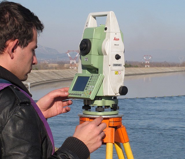
We have the capacity to deploy several teams of experienced technicians and engineers simultaneously, working on one or more projects at once. Consequently, we deliver solutions fast and efficiently. Our teams have all the equipment needed to deliver classic terrestrial topographic surveys (tachometers and GNSS systems) as well as the tools needed to answer more specialized requests.
For the same project, other surveying techniques may be used such as:
In addition, aerial surveying techniques can be used (photogrammetry, lidar, etc.) to complete terrestrial data which may not be sufficiently comprehensive.

