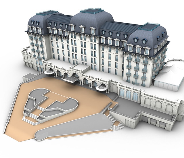
As-built 3D surveys by laser scanning or photogrammetry, as-built BIM models
Our as-built 3D modeling department uses Sintégra’s multi-disciplinary expertise in data acquisition:
- Photogrammetry using aerial or terrestrial photography
- Laser scanning using static (industrial laser scanning) or dynamic (mobile mapping) airborne and terrestrial lidar
Sintégra uses planes, helicopters and drones to perform aerial surveys depending on the desired resolution and configuration of the sites to be scanned or photographed.
We are equipped to implement fixed (eBee) or rotary wing (DJI) UAVs.

