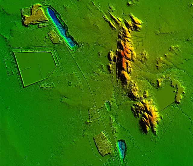
Lidar systems are especially efficient for large land areas or for sites that are difficult to access using other technologies, in particular in case of vegetation, when it is important to represent the morphology of a terrain in a dense, comprehensive manner.
There are many diverse applications:
- Production of topographic survey deliverables:
- DSM (Digital Surface Model),
- DTM (Digital Terrain Model),
- DEM (Digital Elevation Model),
- CHM (Canopy Height Model),
- DHM (Digital Height Model),
- Intensity images
- Vector maps…
- Hydrography and dams:
- Topographic maps,
- Preliminary impact studies,
- Measuring hydraulic drop height,
- Dam tank calculations,
- Rising water level simulations,
- Watershed calculations, runoff…
- Quarries and mines:
- Monitoring operations,
- Volume calculations,
- Site rehabilitation…
- Environmental studies:
- Forestry and agriculture:
- Potential irrigation area,
- Forestry inventory…
- Infrastructure studies and corridor mapping:
- Land use planning (civil engineering, Building and Public Works, architecture, urban planning),
- Transport (road, rail, river),
- Pipelines,
- Power lines,
- Linear projects (rail, route, etc.),
- Fiberoptic installation…
- Natural hazards:
- Flood risk mapping,
- Deformation monitoring (land slides, material transport, erosion),
- Gravity risks (rockfall trajectories),
- Avalanche risk mapping
- Glacier monitoring,
Surveying technologies and equipment
We have four lidar systems based on RIEGL laser scanners, offering technology that integrates full waveform recording for an infinite number of echoes and management of multiple returns. Data processing is performed using a computational workflow developed by Riegl and the Terrasolid software package.
The fact that we have our own hardware and software gives us considerable autonomy in the field in case of unforeseen events.
We are committed to providing solutions to the growing need for drone lidar surveys. Currently, these systems do not perform well enough to deliver satisfactory results, but we are following technological advances in this field closely and we invite you to contact us for more information.

