Urban Development Mapping
definition-urban-development-mapping

Urban development mapping definition

Urban development mapping refers to any development needed for land to be serviced in terms of connections and hookups (road works, piping networks…), in particular for building projects.

Urban Development Mapping Services (road works, piping networks…)

Urban development mapping is one of the core areas of Sintégra expertise. We regularly deliver urban development and landscaping services, in addition to land use planning and topographic services.

Our urban development mapping team has extensive knowledge of the territory and local urban development stakeholders. Consequently, we can quickly mobilize a network of local, reliable, proven partners as needed.

Thanks to our wide-ranging expertise, our company is equipped to manage every phase of your project, whether a subdivision or a housing estate:

  • Site assessment plan
  • Plot division and demarcation
  • Planning permission or building permit
  • Preliminary study and development study
  • Tender documents
  • Project management and work supervision
  • Work acceptance and as-built plan


We can handle all or part of your project from the draft phase to work acceptance, including tender documents and as-built plans.

With our specialization in road works and urban development, and our expertise in all aspects of topography, we deliver services for an extremely wide range of projects, even the most complex. We often work in collaboration with architects, landscapers, and specialized design offices.

Our firm also delivers project management assistance and consulting. When it comes to our customers, we make independence and deontology a priority.

As chartered surveyors, we deliver genuine added value for all of your urban planning projects:

  • Planning certificate
  • Preliminary declaration of work
  • Planning permission
  • Building permit

Urban development mapping applications

Our design office completes all types of assessments for private and public partners and sponsors covering the following types of development:

  • Private or public subdivisions
  • Housing estates
  • Road development
  • Green areas

références

Commune de Jarrie – Lotissement privé

Isère (France)


Viabilisation d’un lotissement de 12 lots – Réalisation d’un ouvrage de rétention en béton de 80 m³ avec pompes de relevage – Création d’une station de refoulement pour les eaux usées.

Cogedim / Opac 38 – Ilot K – Ensemble immobilier

Seyssinet-Pariset, Isère (France)


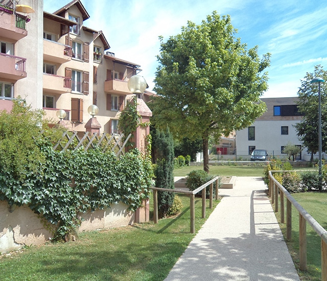
Réalisation des aménagements extérieurs d’un ensemble immobilier de 54 logements et d’un bâtiment d’activité.

SDH – Les 3 Massifs

Meylan, Isère (France)


Viabilisation d’un lotissement de 11 lots dont un collectif de 10 logements.

Affidial Promotion – L’Estate

Fontaine, Isère (France)


Réalisation des aménagements extérieurs d’un ensemble immobilier de 23 logements – Réalisation d’un ouvrage de rétention en béton de 90 m³ avec pompes de relevage.